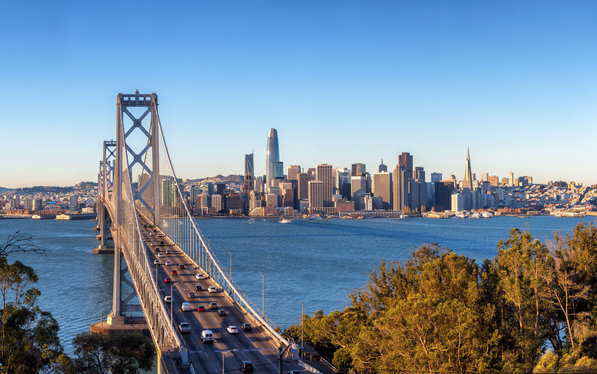
Drone Services Across the Bay Area
We provide professional drone photography, mapping, and inspection services throughout the San Francisco Bay Area—from San Francisco to San Jose, Oakland to Marin County.
San Francisco
Urban core, commercial districts, and waterfront
View Services →Oakland & East Bay
Oakland, Berkeley, Alameda, and surrounding areas
View Services →San Jose & South Bay
San Jose, Santa Clara, Sunnyvale, and tech hub
View Services →Peninsula
Palo Alto, San Mateo, Redwood City corridor
View Services →Fremont & Tri-Valley
Fremont, Hayward, Livermore, Dublin
View Services →Marin County
North Bay, Sausalito, Mill Valley, San Rafael
View Services →Neighborhood & City Guides
Local drone service guides with airspace notes for the neighborhoods and cities where we fly most.
SOMA
Drone services for SOMA construction projects, high-rise inspections, and commercial real estate — the densest development corridor in San Francisco.
Local Guide →Financial District
High-rise facade inspections, commercial real estate photography, and roof documentation in the San Francisco Financial District.
Local Guide →Mission Bay
Construction progress documentation and aerial mapping for Mission Bay — home to UCSF, Chase Center, and the Mission Rock development.
Local Guide →Pacific Heights
Aerial photography for Pacific Heights luxury real estate — panoramic Bay views, landmark estates, and premium listings.
Local Guide →Marina District
Drone photography in the Marina District — waterfront real estate, Golden Gate backdrops, and commercial property along Chestnut Street.
Local Guide →Dogpatch
Drone documentation for Dogpatch — Pier 70 redevelopment, industrial conversions, and the Central Waterfront construction pipeline.
Local Guide →Hunters Point
Construction drone services for the Hunters Point Shipyard and Candlestick Point redevelopment — progress mapping across one of the largest projects in San Francisco.
Local Guide →Oakland
Drone services in Oakland — port and industrial documentation, downtown construction progress, and commercial real estate aerials.
Local Guide →Berkeley
Drone photography and inspection services in Berkeley — R&D facilities, hillside real estate, and commercial corridors.
Local Guide →Walnut Creek
Drone services in Walnut Creek — commercial real estate, transit-oriented development, and Diablo Valley construction documentation.
Local Guide →San Jose
Drone services in San Jose — downtown development documentation, tech campus aerials, and large-site mapping across the South Bay.
Local Guide →Palo Alto
Drone photography in Palo Alto — corporate campuses, R&D real estate, and premium residential listings in the heart of Silicon Valley.
Local Guide →Emeryville
Drone services in Emeryville — biotech campus documentation, mixed-use construction progress, and commercial aerials at the foot of the Bay Bridge.
Local Guide →Complete Bay Area Coverage
Our 50 miles service area covers San Francisco, the Peninsula, East Bay, South Bay, and North Bay communities.
Cities & Areas We Serve:
Get Started in Your Area
Get a free quote for your drone project today. Our FAA-certified pilots are ready to help.