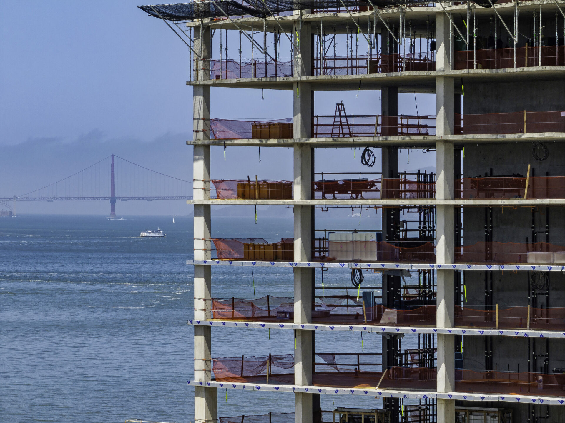
The Hunters Point Shipyard and Candlestick Point redevelopment covers hundreds of acres — one of the largest urban redevelopment undertakings in California. Projects at this scale are exactly where aerial mapping shifts from convenience to necessity: a single flight produces site-wide orthomosaics that would take a survey crew days to approximate.
We provide recurring progress documentation for horizontal infrastructure and vertical construction phases, volumetric measurements for earthwork, and mapping deliverables that plug directly into project GIS and VDC workflows.
Our Services in Hunters Point
Construction & VDC
Site mapping, progress tracking, VDC integration
Aerial Mapping & LiDAR
Precision mapping and 3D data capture
Commercial Real Estate
Commercial property marketing imagery
Commercial & Industrial Inspection
Safe inspections for commercial structures
Flying in Hunters Point: Airspace Considerations
Hunters Point sits in relatively unconstrained airspace on the city's southeastern shoreline, making high-altitude mapping grids easier to authorize than downtown. Operational considerations are site-specific: active remediation zones, secured parcels requiring access coordination, and shoreline winds. We coordinate directly with site superintendents on every recurring flight program.
Where We Fly in Hunters Point
- Hunters Point Shipyard parcels
- Candlestick Point waterfront
- India Basin shoreline development
Serving Hunters Point and the wider Bay Area — learn more about Bay Area Drone Pro or request a free quote for your project.