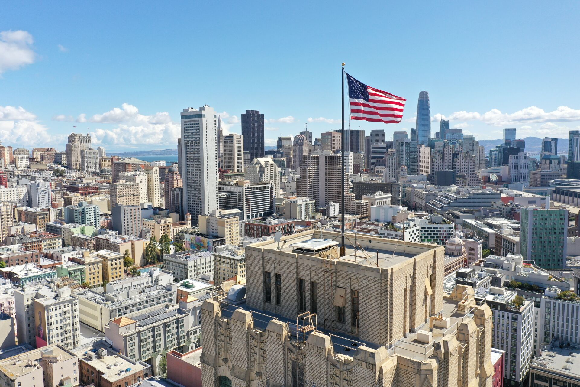
Dogpatch is the Central Waterfront's conversion story: Union Iron Works sheds becoming creative offices, the Pier 70 master plan rebuilding an entire shipyard district, and Crane Cove Park stitching the neighborhood to the Bay. It's one of the most active adaptive-reuse markets on the West Coast.
We document rehabilitation work on historic industrial structures, track progress across Pier 70 parcels, and photograph the converted lofts and maker spaces that define the neighborhood's commercial market. Waterfront sightlines and low-rise fabric make Dogpatch an efficient place to fly.
Our Services in Dogpatch
Construction & VDC
Site mapping, progress tracking, VDC integration
Aerial Mapping & LiDAR
Precision mapping and 3D data capture
Commercial Real Estate
Commercial property marketing imagery
Commercial & Industrial Inspection
Safe inspections for commercial structures
Flying in Dogpatch: Airspace Considerations
Dogpatch enjoys some of the simplest airspace in the city — largely clear of the restrictive downtown grids, with LAANC authorization straightforward at standard altitudes. Waterfront operations account for ferry traffic and shoreline wind. Historic-district documentation often requires oblique angles at lower altitudes, which we plan with the project team in advance.
Where We Fly in Dogpatch
- Pier 70 redevelopment
- Crane Cove Park
- American Industrial Center
- 22nd Street historic corridor
Serving Dogpatch and the wider Bay Area — learn more about Bay Area Drone Pro or request a free quote for your project.