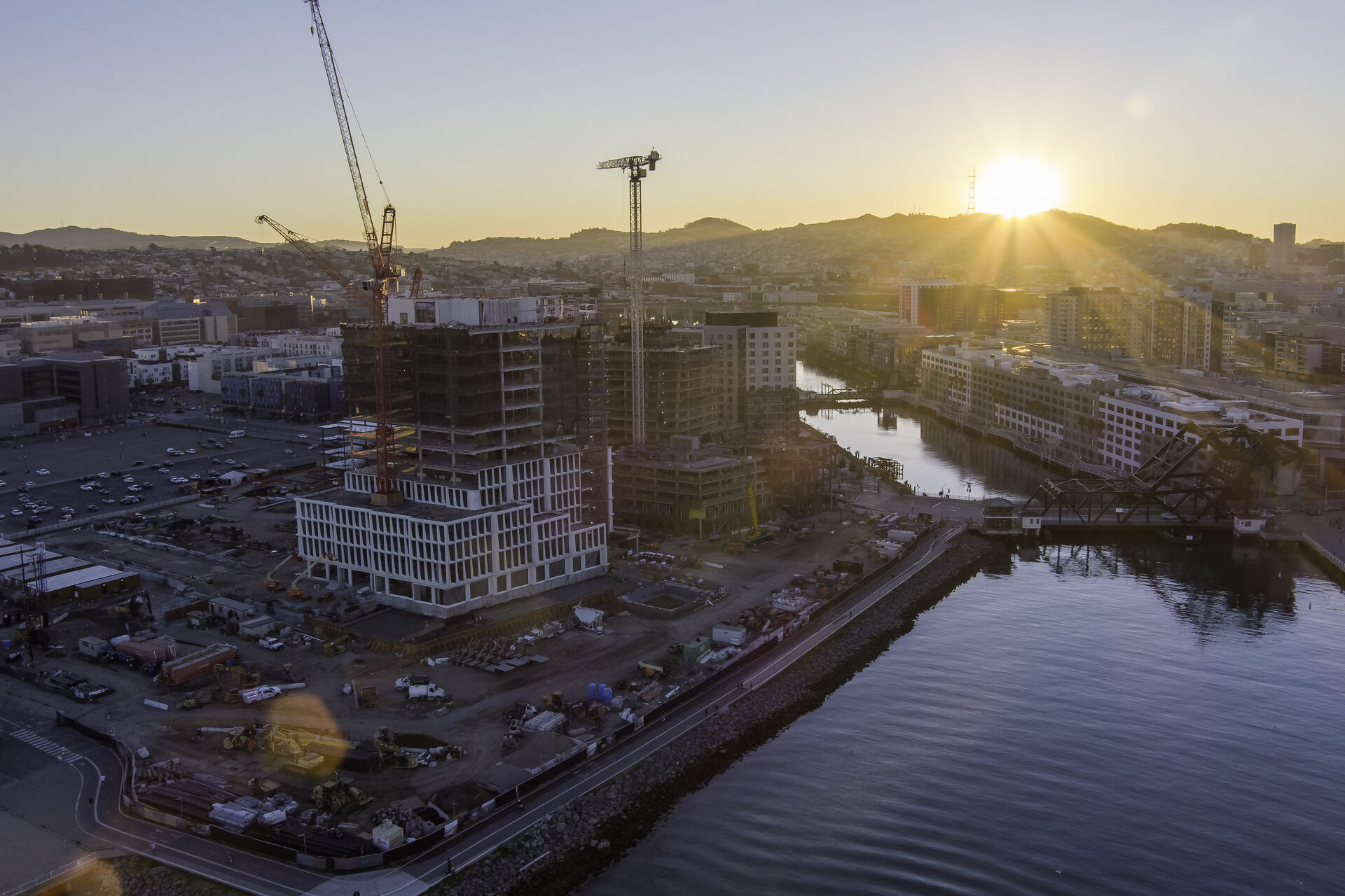
Mission Bay is San Francisco's largest master-planned development, and it is still building: the Mission Rock district beside the ballpark, ongoing UCSF campus expansion, and life-science labs filling in the blocks between. For construction teams here, monthly aerial progress documentation is standard practice, not a luxury.
We've documented Mission Rock from foundation work to topping out, mapped laydown yards for site logistics planning, and produced leasing photography for the district's new commercial space. Flat terrain, wide streets, and waterfront sightlines make Mission Bay one of the best neighborhoods in the city for orthomosaic mapping.
Our Services in Mission Bay
Construction & VDC
Site mapping, progress tracking, VDC integration
Aerial Mapping & LiDAR
Precision mapping and 3D data capture
Commercial Real Estate
Commercial property marketing imagery
Commercial & Industrial Inspection
Safe inspections for commercial structures
Flying in Mission Bay: Airspace Considerations
Mission Bay sits under the SFO Class B shelf with routine LAANC authorization. Chase Center events trigger stadium TFRs that we schedule around, and the UCSF hospital helipad requires coordination for flights on the campus's eastern edge. Waterfront wind off the Bay is the main operational variable — we monitor conditions and build weather margins into every schedule.
Where We Fly in Mission Bay
- Chase Center
- Mission Rock development
- UCSF Mission Bay campus
- Mission Creek waterfront
Serving Mission Bay and the wider Bay Area — learn more about Bay Area Drone Pro or request a free quote for your project.