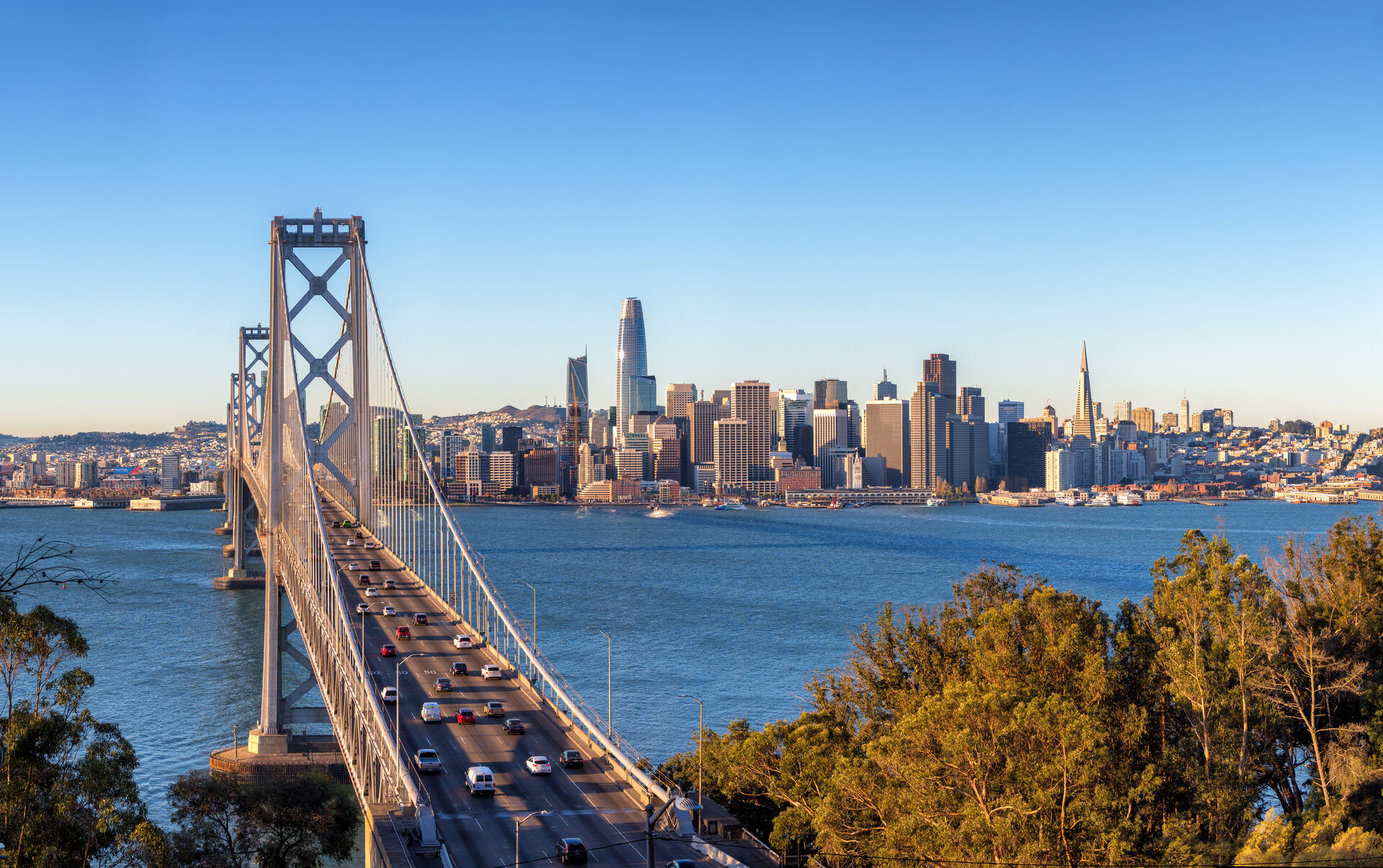
Pacific Heights listings sell views: the Golden Gate, Alcatraz, the Palace of Fine Arts, and the Bay spread out below the ridgeline. Ground-level photography cannot show what a buyer is actually purchasing here — elevation can, and that's precisely what a drone delivers.
We photograph estates along Broadway and Divisadero, capture roofline and lot-context images for off-market packages, and produce twilight aerials that anchor print and digital campaigns for the city's most expensive listings.
Our Services in Pacific Heights
Construction & VDC
Site mapping, progress tracking, VDC integration
Aerial Mapping & LiDAR
Precision mapping and 3D data capture
Commercial Real Estate
Commercial property marketing imagery
Commercial & Industrial Inspection
Safe inspections for commercial structures
Flying in Pacific Heights: Airspace Considerations
Pacific Heights flies under the SFO Class B shelf via LAANC. The neighborhood-specific consideration is privacy: flights over residential blocks are planned tightly around the subject property, and we notify neighbors for extended shoots. Marine layer is the scheduling factor — summer mornings are frequently fogged in, so we favor late-morning and golden-hour windows.
Where We Fly in Pacific Heights
- Broadway "Gold Coast" estates
- Lafayette Park and Alta Plaza
- Fillmore Street commercial corridor
Serving Pacific Heights and the wider Bay Area — learn more about Bay Area Drone Pro or request a free quote for your project.