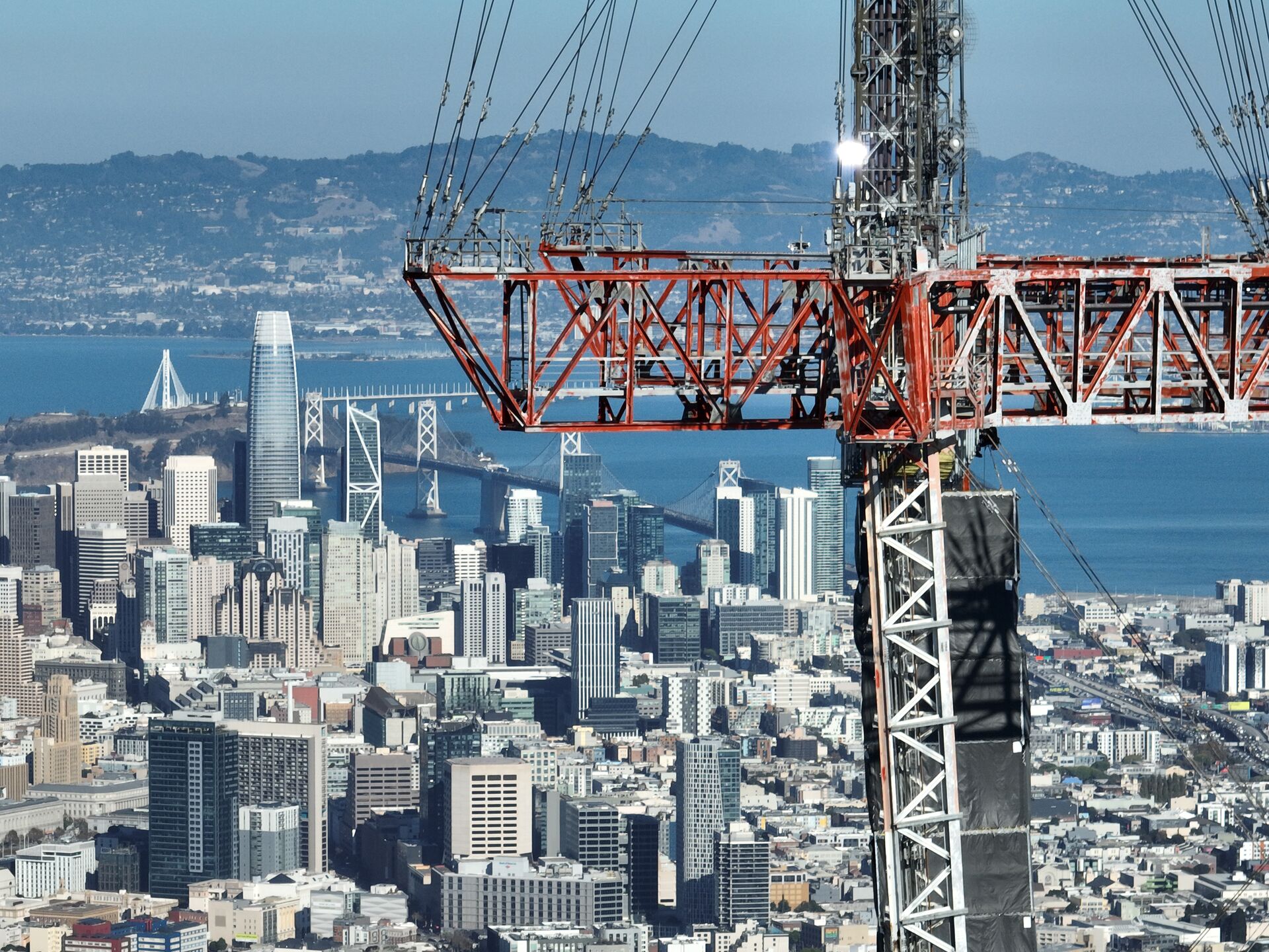
The Marina's flat blocks between the Bay and Chestnut Street hold some of the most photogenic real estate in San Francisco, with the Golden Gate Bridge and the Palace of Fine Arts as standing backdrops. Aerial photography here practically composes itself — the work is in flying it legally and safely.
We shoot waterfront condos and single-family listings, marina and yacht-club facilities, and retail property along the Chestnut corridor. Post-1989 seismic retrofit documentation is also steady work in this neighborhood's soft-story building stock.
Our Services in Marina District
Construction & VDC
Site mapping, progress tracking, VDC integration
Aerial Mapping & LiDAR
Precision mapping and 3D data capture
Commercial Real Estate
Commercial property marketing imagery
Commercial & Industrial Inspection
Safe inspections for commercial structures
Flying in Marina District: Airspace Considerations
The Marina requires careful boundary awareness: the Presidio and Crissy Field to the west are National Park Service lands where launching and landing drones is prohibited. We stage from approved locations within the neighborhood and respect GGNRA boundaries precisely. Standard LAANC authorization covers the district under the SFO Class B shelf.
Where We Fly in Marina District
- Palace of Fine Arts
- Marina Green and the yacht harbor
- Chestnut Street commercial corridor
- Fort Mason (exterior approaches)
Serving Marina District and the wider Bay Area — learn more about Bay Area Drone Pro or request a free quote for your project.