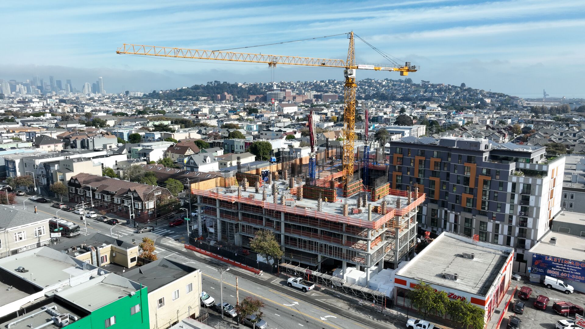
Berkeley pairs a university-driven R&D economy — lab space along the West Berkeley innovation corridor, biotech build-outs, maker-industrial conversions — with some of the East Bay's most view-dependent hillside real estate. Both markets photograph dramatically better from the air.
We document lab and flex-space projects in West Berkeley, shoot hillside listings where Golden Gate views drive value, and inspect roofs on the city's older commercial stock along Shattuck and San Pablo.
Our Services in Berkeley
Construction & VDC
Site mapping, progress tracking, VDC integration
Aerial Mapping & LiDAR
Precision mapping and 3D data capture
Commercial Real Estate
Commercial property marketing imagery
Commercial & Industrial Inspection
Safe inspections for commercial structures
Flying in Berkeley: Airspace Considerations
Most of Berkeley sits in permissive airspace, though the UC Berkeley campus prohibits drone operations without university approval — we treat campus boundaries as hard lines unless the client holds authorization. Hillside flights contend with afternoon winds off the Bay; mornings are our preferred window.
Where We Fly in Berkeley
- West Berkeley innovation corridor
- Fourth Street retail district
- Berkeley Marina
- Claremont district hillsides
Serving Berkeley and the wider Bay Area — learn more about Bay Area Drone Pro or request a free quote for your project.