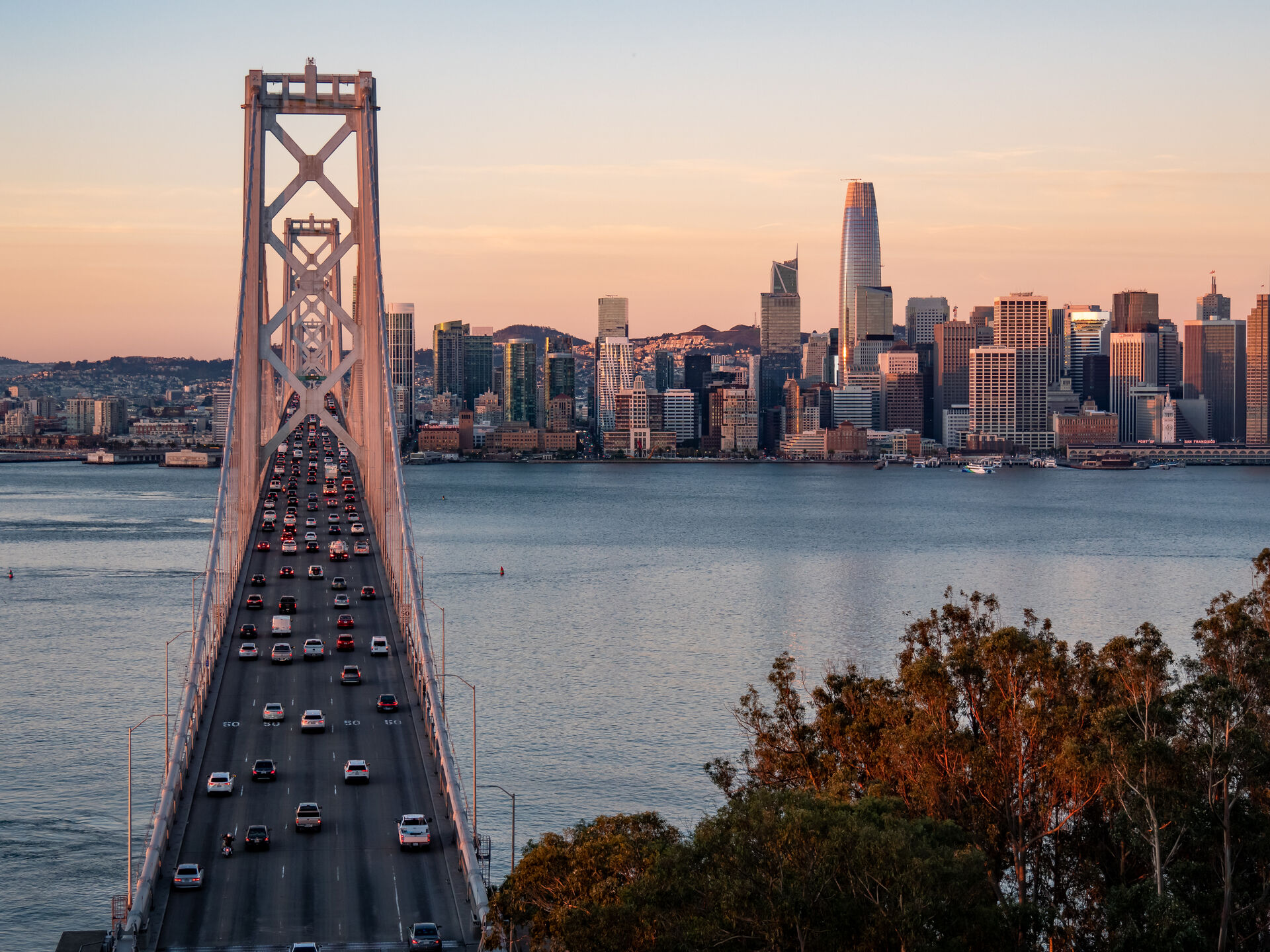
Emeryville concentrates a remarkable amount of commercial real estate into one square mile: a genuine biotech cluster anchored by the EmeryStation lab buildings and Bayer's campus, Pixar's headquarters, the Bay Street retail district, and a steady pipeline of mid-rise residential and lab conversions on former industrial blocks. Small city, dense flight calendar.
We photograph lab and office assets for owners and leasing teams, document construction progress on the infill projects along the Christie Avenue and Hollis Street corridors, and inspect the large flat roofs typical of the city's industrial-conversion building stock.
Our Services in Emeryville
Construction & VDC
Site mapping, progress tracking, VDC integration
Aerial Mapping & LiDAR
Precision mapping and 3D data capture
Commercial Real Estate
Commercial property marketing imagery
Commercial & Industrial Inspection
Safe inspections for commercial structures
Flying in Emeryville: Airspace Considerations
Emeryville sits at the East Bay touchdown of the Bay Bridge, beneath layered shelves of the region's controlled airspace — most commercial flights here operate on LAANC authorization at standard grid altitudes, granted quickly. The practical planning items are local: corporate campuses like Pixar are never overflown without authorization, and bridge-approach traffic corridors get extra separation in our flight plans.
Where We Fly in Emeryville
- EmeryStation and the Hollis Street lab corridor
- Bay Street Emeryville retail district
- Christie Avenue office cluster
- Bay Bridge gateway waterfront
Serving Emeryville and the wider Bay Area — learn more about Bay Area Drone Pro or request a free quote for your project.