Stop Explaining What You Need
Most drone operators are photographers first. They know cameras. They don't know construction or VDC.
So you end up explaining what an orthomosaic is. Why you need weekly updates. What format the files should be in for BIM integration. It's exhausting.
We get it. We've worked with VDC coordinators, project managers, superintendents, and GCs across the Bay Area. We know what you need before you have to explain it.
What We Deliver
Progress Documentation
Regular aerial updates — weekly, bi-weekly, or monthly. Keep stakeholders informed without site visits. Same day each week if you need it.
Orthomosaic Mapping
Centimeter-accurate 2D maps stitched from hundreds of images. Measure distances, areas, and track changes over time. Georeferenced for precision.
3D Site Models
Interactive 3D models for planning, presentations, and BIM integration. Show stakeholders exactly what's happening on site.
VDC Integration
Deliverables formatted for your VDC workflows. Direct integration with Autodesk, Procore, BIM 360, and common construction platforms.
Volumetric Analysis
Calculate stockpile volumes, cut/fill quantities, and track material movement. Survey-grade accuracy for earthwork tracking.
As-Built Documentation
Comprehensive aerial documentation for project closeout. Archive-quality imagery and data for your records.
Why Bay Area Construction Teams Choose Us
- We speak construction and VDC — PM experience, not just photography. We understand your project workflows.
- Consistent scheduling — Same day each week if you need it. Reliable data you can count on.
- Data formats you can use — GeoTIFF, DXF, DWG, LAS, PDF reports. Compatible with your existing systems.
- Quick turnaround — Most deliverables within 48 hours. Faster when you need it.
- FAA certified with up to $10M liability coverage — Professional, legal, insured.
- Bay Area airspace expertise — We handle SFO, OAK, SJC, and regional airport coordination.
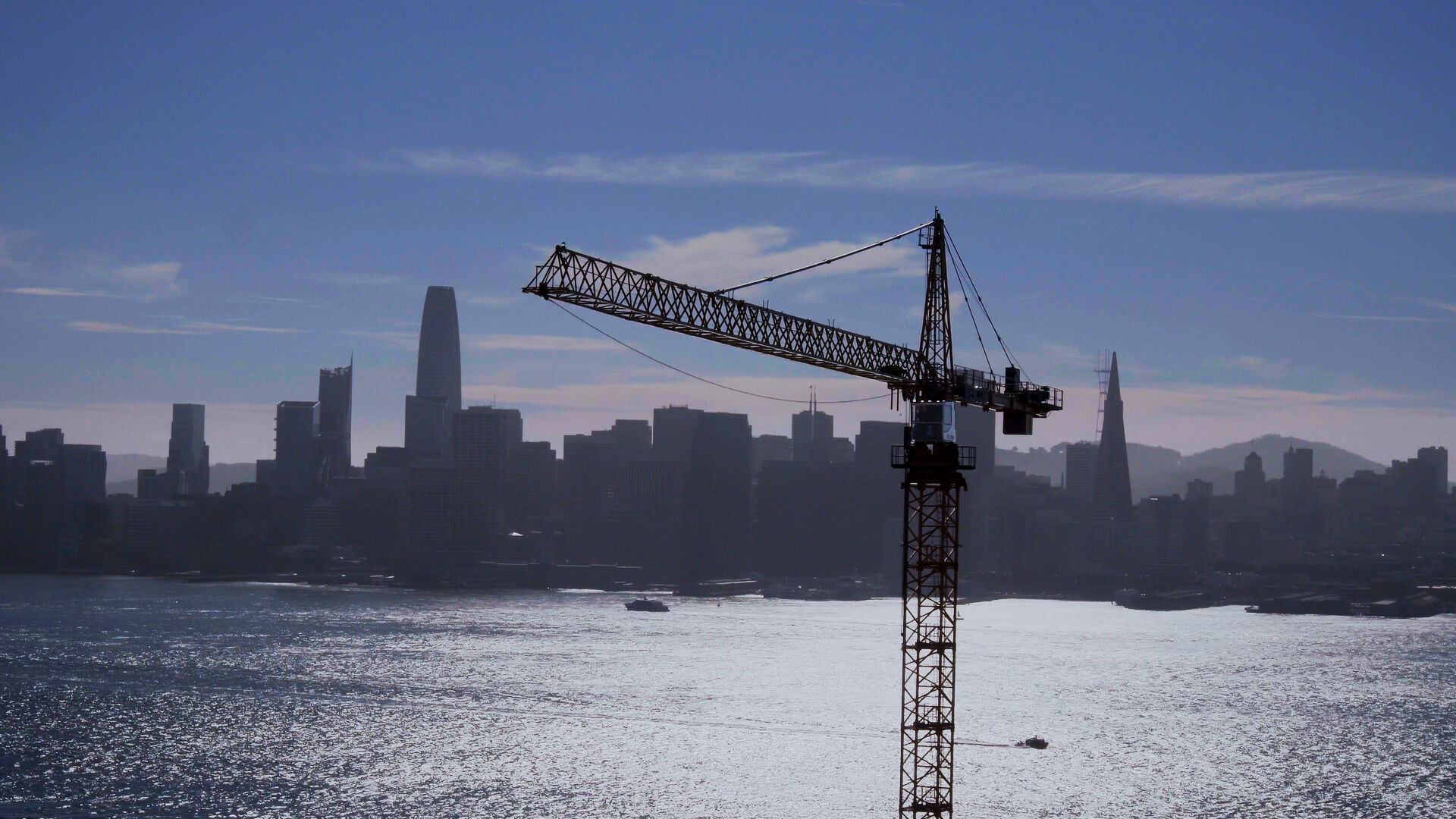
Bay Area Construction Expertise
Bay Area construction has unique characteristics we understand: seismic requirements, complex hillside grading, tight urban infill sites, and stringent environmental regulations. Our aerial data helps you track progress, communicate with stakeholders, and keep projects on schedule.
We've supported projects from tech campus expansions on the Peninsula to transit infrastructure throughout the region to mixed-use developments in Oakland. Whatever your project type, we deliver data you can use.
Construction & VDC FAQs
What file formats do you deliver for VDC integration?
We deliver in formats that integrate with your existing workflows: GeoTIFF for orthomosaics, PDF reports for stakeholder updates, DXF/DWG for CAD integration, and exports compatible with Autodesk, Procore, BIM 360, and other construction platforms. Point clouds available in LAS/LAZ formats.
How quickly can you turnaround deliverables?
Most projects are delivered within 48 hours. For ongoing progress documentation, we maintain consistent delivery cadence aligned with your meeting schedules. Rush delivery available for time-sensitive needs.
What types of Bay Area construction projects do you work with?
We work with all scales—commercial developments, tech campus expansions, transit infrastructure, mixed-use projects, and industrial facilities. Our clients include general contractors, developers, and public agencies throughout San Francisco, Oakland, San Jose, and the greater Bay Area.
How do you handle the Bay Area's complex airspace?
The Bay Area has some of the most complex airspace in the country due to SFO, OAK, SJC, and regional airports. We're experienced with LAANC authorization and can secure airspace access for most construction sites within 24-48 hours. We handle all FAA coordination.
Can you integrate with our existing VDC/BIM workflows?
Yes. We work with your VDC team to deliver data in formats that integrate directly with your existing systems. Whether you're using Revit, Navisworks, Autodesk Construction Cloud, or Procore, we can deliver compatible outputs.
Let's Talk About Your Site
Tell us about your project. We'll put together a proposal within 24 hours.